


Overview
Ramechhap Municipality (रामेछाप नगरपालिका): according to the political division, Bagmati Pradesh is located in the southeast of Ramechhap district, east of Ramechhap municipality, Okhaldhunga district in the south, Sindhuli district in the south, Likhu Rural Municipality in the north and Manthali Municipality in the west. Ramechhap municipality is one of the two municipalities in Ramechhap district. This municipality was declared by the Government of Nepal on 2071 Manshir 16. Re: Municipality formation date: 2073 Falgun 27 (March 10, 2017). Former VDCs when the municipality was formed: Ramechhap, Sukajaer, and Okhaeni. Currently added VDCs: Gothagaun, Deurali, Sanghutar, Himganga, and Rampur. The number of wards is 9 and the area is 202.45 sq. Km. The total population is 28612. The center of this municipality is Ramechhap Bazaar.
Ramechhap Municipality is located in the central hilly region of Nepal. In terms of climate, it has three types of hot, subtropical, and temperate climates. Bhangeri, the birthplace of Martyr Ganga Lal and historical leader Pushpalal, Tilkesthan Gadhi, and Dukursindanda, which were prepared for the war with the British in connection with Nepal's independence, Bhimsensthan of ward no. Tarakhse Pokhari is the heritage of this municipality Maoists are.
Similarly, Thalari Danda, Mahabharat Parbat, and Himalaya Parbat, the highest point of the Ramechhap Municipality, Bhalukhop View Tower, Ram Mandir, Kalidevisthan, Hadetar Mahadev Rampur, Siddhathakur Rampur, etc. are places of cultural, religious and tourist importance. In these areas which are important from the point of view of tourism, fairs and religious activities are also held at different times. Due to which it has become a destination for internal and external tourists.
Historical Identification and Nomenclature:
The naming of Ramechhap municipality is related to the naming of Ramechhap district. There are various legends about how Ramechhap district was named "Ramechhap". In its naming, the present ward no. 8 the ancient inhabitants of Ramechhap and their associated history come together. The Tamang caste still resides around Ramechhap hill and according to the legend, the Tamang caste also lived in ancient times. There, a Tamang named Ram had received the Birta from the then Raja Rajputs as the chief of the place. From him, the customs, responsibilities, and even the seal of the place were run. The name of the place had to be associated with Ram as the person who came from other places had to take permission from him and live only after verifying the seal. In this way, the word Ram Chhap, which was gradually spoken by the vernacular, became a corruption of Ramechhap and the name of the place remained Ramechhap.
Similarly, according to another legend, the Tamangs have been living around Ramechhap hill since ancient times and since they used to raise cows, cattle, sheep, and goats as their main occupation, they used some places in the area as pasture. In the Tamang language, 'Ra' means sheep and goat, "Me" means cow and cattle and "Chhap" means grazing area. The base for Dolakha and Ramechhap will remain as the headquarters until the 2018 BS. And after the division of the 75 districts have been living apart is RAMECHHAP.
Geological, geological conditions, and topography:
The topography of this municipality, adorned with geographical diversity, its own unique originality, historical religious sites (Kevleshwar), sacred Likhu (Himaganga), and Sunkoshi rivers, is a mixture of tar, valleys, slopes, fields, and forests.
Geological conditions:
Looking at the geological condition of the municipality, the eastern part of the Himalayas falls within the mountain range called Laser Himalayas. This place is one of the largest geological structures in the Nepal Himalayas. In the geological language, the structure that appears after the erosion of the higher Himalayan rocks, which have reached Khaptin on the rocks under the Laser Himalayas through geological erosion, is called a window in geological language. As the terrain including Ramechhap Okhaldhunga falls under such structure, it is known as “Ramechhap-Okhaldhunga Window” in the study of the geological condition of Nepal. Here, the Higher Himalayas are found slipping over the Laser Himalayas through a geological thrust called Main Central Thrust.
The main rocks formed here are slate, phyllite, metasandstone formed at low heat and pressure, and quartzite, cyst, and is formed at high temperature and pressure. The main central erosion is found in the southern part of the Ramechhap Municipality, i.e. north of the Sunkoshi River, stretching east-west. Due to which, the inclination of the rocks found in the area is not uniform with the horizon. Similarly, the rocks around the thrust are found to be locally folded. Many folds are also found in the rest of the municipality, which is dominated by slate and phyllite.
Natural Resources:
The main natural resources of this city are rivers, forests, forest products, mines and minerals, land and groundwater, natural environment, etc.
Water Resources:
Rivers are the major natural resources of the Ramechhap Municipality. The major water resources of the city are the Sunkoshi and Likhu rivers which originate from the Himalayas flowing from the southern and eastern parts of the city and flow continuously for twelve months. Apart from these, basic needs like drinking water and small scale irrigation are also being met to some extent from small creeks and springs in the municipality. Tarakhse Pokhari, Malagiri Pokhari, and other ponds are religious and tourist destinations.
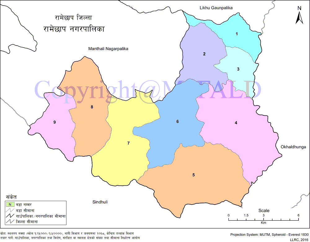
Geographical Map of Ramechhap Municipality:
Contact Address:
Location: Ramechhap Municipality, Ramechhap Bazzar, Ramechhap, Bagmati Pradesh, Nepal
Telephone: +977-48-400012
Email: [email protected]
Website: www.ramechhapmun.gov.np