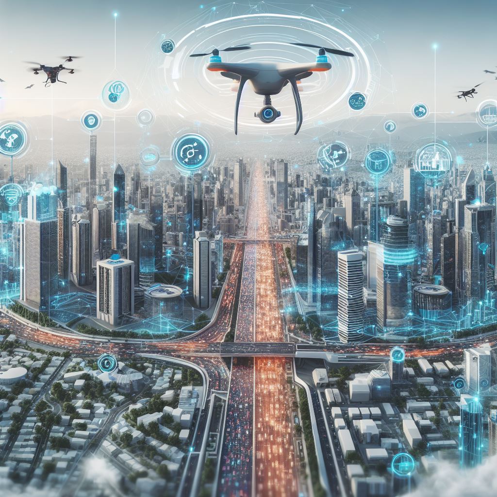
Modern Surveying Techniques: From Drones to Digital Twins
Introduction
Surveying, traditionally considered as the science and art of determining the terrestrial positions of points and the distances and angles between them, has seen a radical transformation over the past decades. The amalgamation of traditional geomatics with advanced technologies such as drones, digital twins, and IoT has paved the way for a new era in geospatial analysis and mapping.
Technology Deep Dive
Drones in Surveying
Drones, or unmanned aerial vehicles (UAVs), have made a significant impact in the realm of surveying, replacing manual measurements with automated aerial mapping.
-
How Drones Work in Surveying: Equipped with high-resolution cameras and various sensors, drones capture precise aerial data which can then be processed to create detailed topographic surveys, orthophotos, and 3D models.
-
Advantages:
- Speed: Drone surveys can be completed faster than traditional ground-based methods.
- Cost-effective: Reduces manpower and associated costs.
- Accessibility: Can access difficult terrains without human intervention.
-
Applications: Land mapping, agricultural analysis, flood modelling, and more.
Digital Twins and Their Role in Surveying
Digital twins are virtual replicas of physical entities. In the context of surveying and geospatial analysis, digital twins represent geographic areas.
-
Creation of Digital Twins: They are created using data from various sources including drones, sensors, and other IoT devices. This data is then processed and visualized in a digital platform that mirrors the real-world scenario.
-
Applications in Surveying: Digital twins can be applied in urban planning, infrastructure management, and disaster response among other things. They allow for real-time monitoring and prediction based on the virtual model.
IoT's Integration in Modern Surveying
Internet of Things (IoT) refers to the network of physical devices embedded with sensors, software, and other technologies to collect and exchange data.
-
Role in Surveying: IoT devices can provide real-time data, improving the accuracy and timeliness of surveys.
-
Applications: Real-time monitoring of construction sites, traffic flow analysis, environmental monitoring, etc.
Applications of Modern Surveying Technologies
Applications of Digital Twins in Geospatial Surveying
- Urban Planning: Digital twins provide a comprehensive view of urban layouts, assisting planners in optimizing space utilization, infrastructure development, and resource management.
- Disaster Management: They help in predicting natural disasters and strategizing response plans based on simulated outcomes.
- Infrastructure Maintenance: Predictive maintenance using digital twins can save costs and improve safety.
Drone Technologies in Land and Property Surveying
- Real Estate: Accurate property boundaries and 3D modelling help in property valuation and marketing.
- Environmental Studies: Monitor changes in the environment, such as deforestation or coastal erosion.
- Archeological Sites: Non-intrusive surveying of historical sites.
Digital Transformation in Geospatial Mapping and Surveying
- Smart Cities: IoT and digital twins help in creating smarter and more efficient cities by optimizing traffic, utilities, and public services.
- Resource Management: Monitor and manage natural resources more effectively.
Case Studies
-
UAV and GIS Integration for Forest Fire Damage Assessment: A study by Agapiou et al. (2015) showcased the use of drones for assessing forest fire damages. The UAV imagery was effectively used for evaluating burn severity and guiding restoration efforts.
-
Digital Twins in Cities: Biljecki et al. (2020) discussed the emergence and applications of digital twins in urban areas. Their findings highlighted the potential for digital twins in streamlining urban development and management.
Challenges in Implementing Modern Surveying Techniques
- Legal Implications: Drone usage is regulated in many regions, posing challenges for widespread adoption.
- Data Security and Privacy: With digital transformation comes the need to secure sensitive geospatial data.
- Technical Challenges: Integration of IoT with other technologies requires technical know-how and infrastructure.
- Ethical Considerations: The extensive data collection capabilities, especially of drones, might raise privacy concerns.
Future Trends in Surveying Technology
- AI and Machine Learning: Automated data analysis and predictive modeling.
- Augmented Reality (AR): On-site visualization of geospatial data.
- Higher Integration of IoT: Increased real-time monitoring and data accuracy.
Conclusion
The fusion of traditional surveying techniques with modern technologies has opened up a plethora of opportunities and challenges. While drones, digital twins, and IoT are revolutionizing the surveying landscape, it's imperative for professionals to address the associated challenges proactively. As we step into the future, the convergence of AI, AR, and advanced geospatial technologies promises to reshape surveying in unprecedented ways.
References:
- Agapiou, A., Lysandrou, V., & Hadjimitsis, D. G. (2015). UAV and GIS integration for assessing forest fire damage. In Proceedings of SPIE - The International Society for Optical Engineering, 9535, 95350L.
- Biljecki, F., Kumar, K., & Nagel, C. (2020). The emergence and the applications of digital twins in cities. ISPRS International Journal of Geo-Information, 9(11), 668.
- Du, Z., Zhang, X., Wang, X., & Zhu, H. (2018). Integrating BIM and GIS in sustainable built environment: A review and bibliometric analysis. Sustainability, 10(8), 2788.


