


Overview
Nepalgunj Sub-Metropolitan City (Nepalgunj Upamahanagarpalika) is located in the western part of Lumbini Province and serves as a central hub for the former Mid-Western Development Region. It is one of the most significant districts among the 12 districts of Lumbini Province and functions as the district headquarters of Banke.
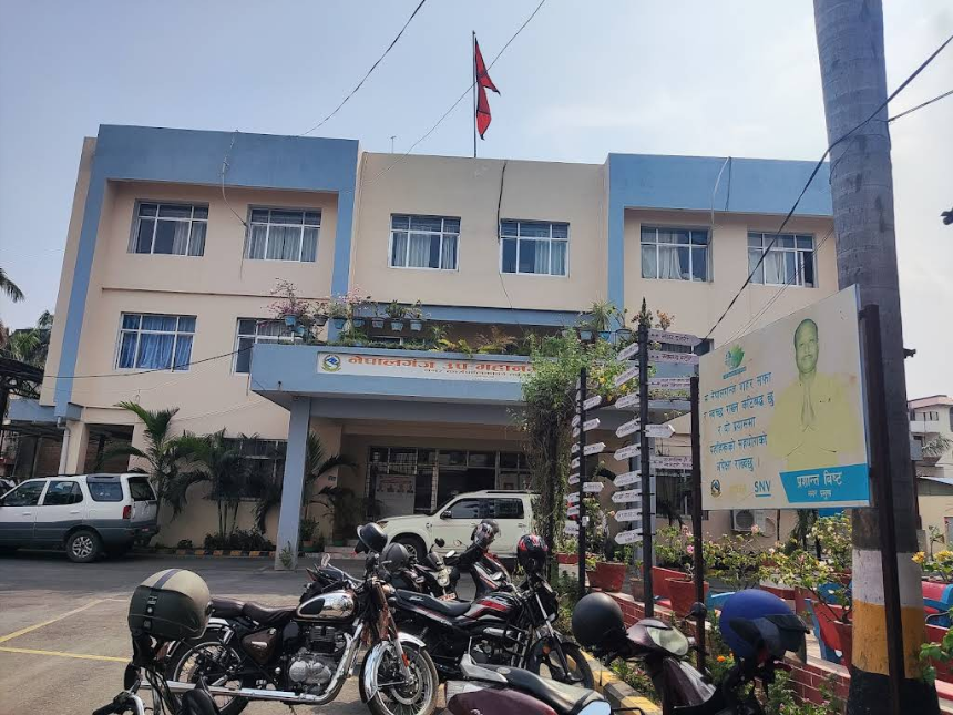
Nepalgunj, located in Banke, is famously known as the gateway to western Nepal. It is a well-recognized commercial center established in the name of the country itself.
Historical Background and Administrative Development
Nepalgunj was initially established in the year 2017 B.S. under the name Nepalgunj Nagar Panchayat. Later, in 2019 B.S., it was declared a municipality.
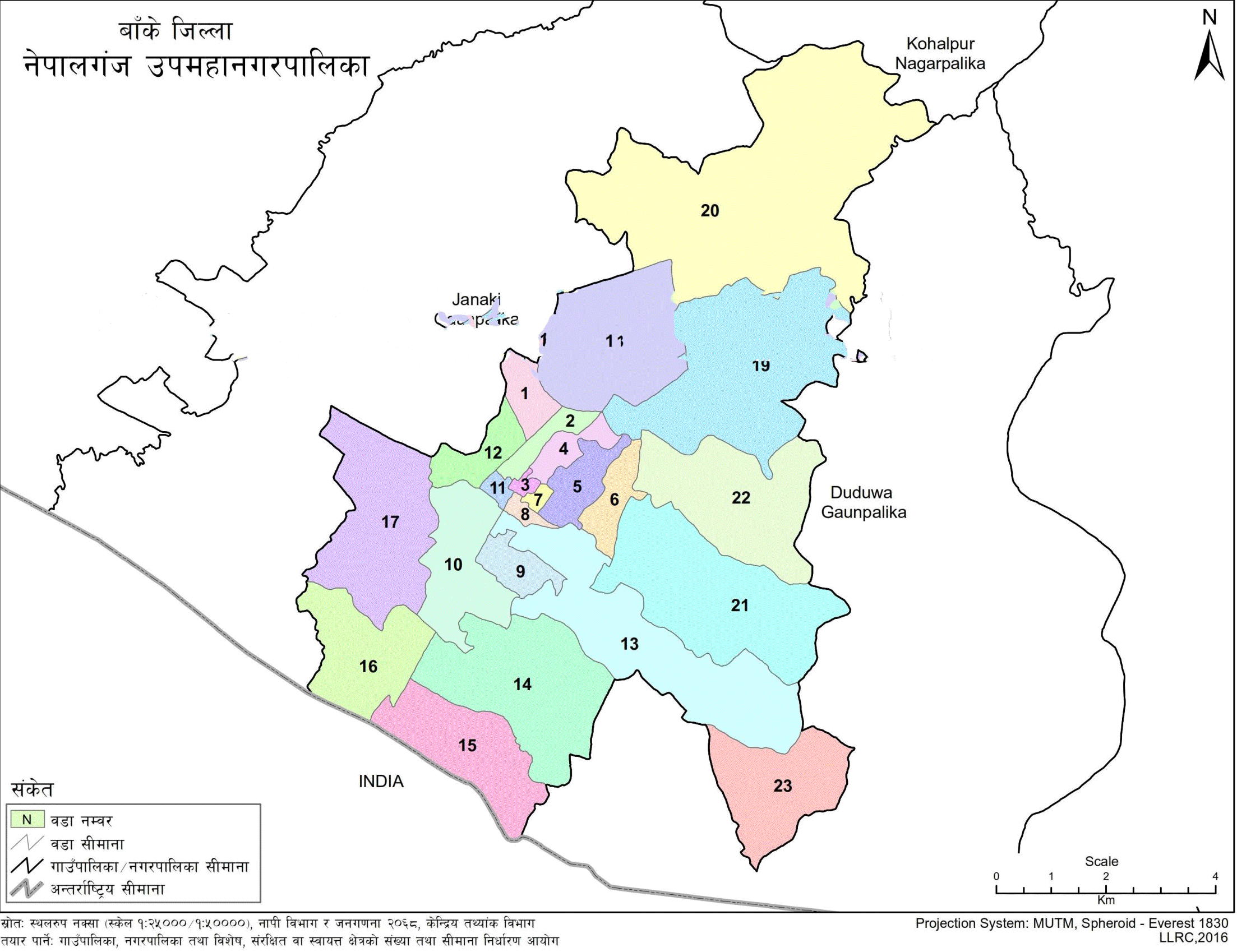
Following the decision of the Government of Nepal's Council of Ministers on 16 Mangsir 2071 B.S., ten former Village Development Committees (VDCs) were merged to form a Sub-Metropolitan City with 27 wards.
Subsequently, on 1 Ashoj 2072 B.S., Puraine VDC was integrated, increasing the total number of wards to 28.
However, as per the decision on 27 Falgun 2073 B.S., the ward structure was revised, and the number of wards was reduced to 23.
Area Coverage and Border Connectivity
The total area of Nepalgunj Sub-Metropolitan City covers 85.94 square kilometers.
Situated 10 kilometers south of the East–West Highway, the city is directly connected to the Nepal–India border, which enhances its strategic importance.
Bordering Municipalities and Rural Areas
Nepalgunj Sub-Metropolitan City shares borders with the following administrative units:
-
East: Duduwa Rural Municipality
-
West: Janaki Rural Municipality
-
North: Janaki Rural Municipality and Kohalpur Municipality
-
South: Duduwa Rural Municipality and the international border with India
Wards 15 and 16 of the city directly adjoin the Indian boundary.
Demographics and Population Data
According to the Census of 2078 B.S., Nepalgunj Sub-Metropolitan City has a total population of 164,444, comprising:
-
Male: 82,755
-
Female: 81,689
-
Total households: 34,565

.jpg)


