


Overview
Tumwewa Rural Municipality is located in the far southern part of Panchthar District, one of the 1 municipality and 7 rural municipalities in the district. It is situated 72 kilometers away from the district headquarters.
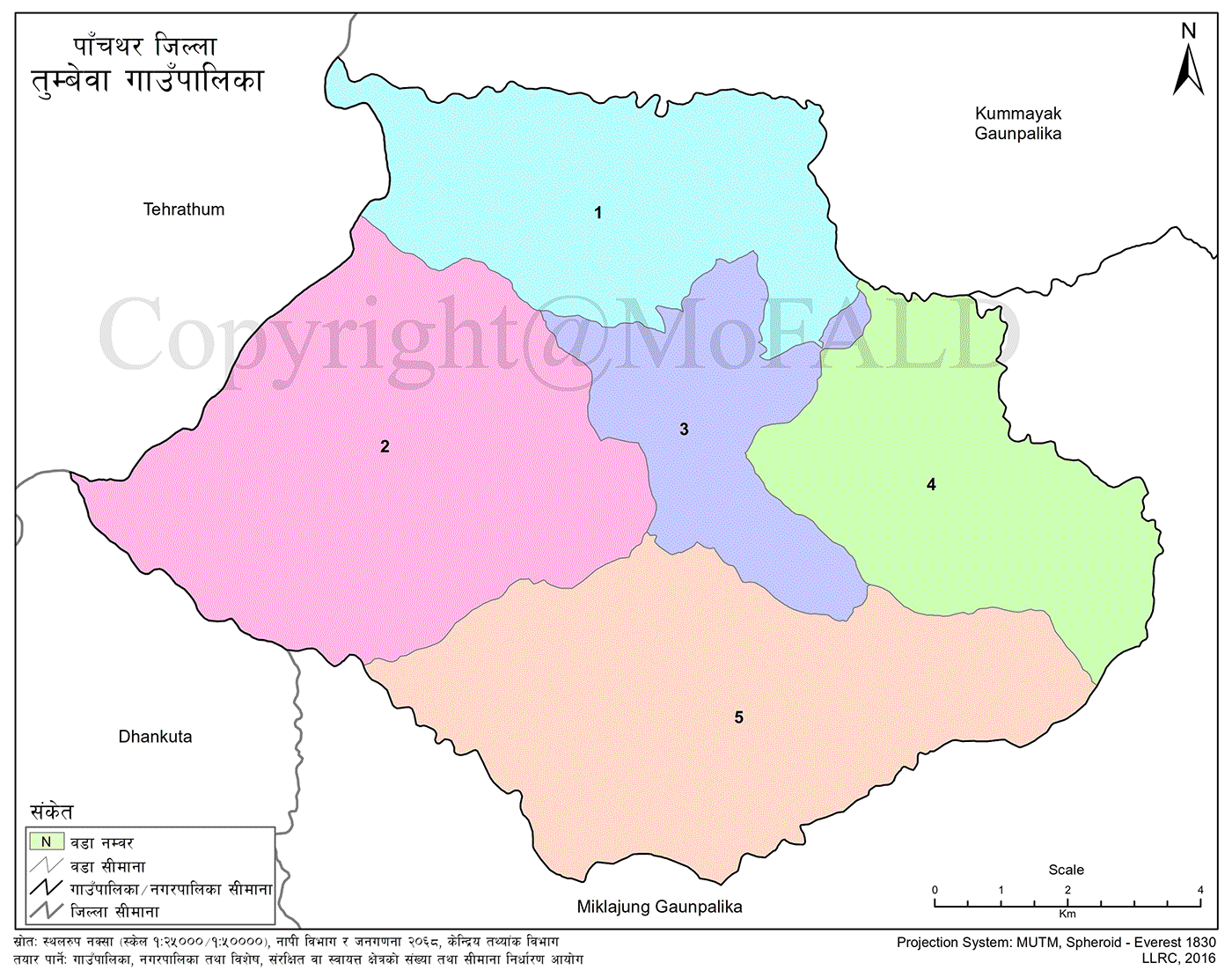
This rural municipality was formed by merging 36 wards from the former Village Development Committees (VDCs): Angna, Mauwa, Balane, and Hanggum. These were reorganized into 5 wards to establish the current structure of Tumbewa Rural Municipality.
The boundaries of this municipality are defined by rivers and streams on all sides. The area is connected by the Tamor Corridor road. Electricity service was officially inaugurated on 2076/02/25 B.S. and is currently in the process of being expanded.
A branch office of a prime commercial bank has been established and is now providing services locally.
With a total area of 117.34 square kilometers, this municipality is the smallest among the local units in Panchthar District in terms of both geography and population.
The total population of the municipality is 11,189. Ethnic groups residing in the area include:
-
Chhetri
-
Brahmin
-
Limbu
-
Rai
-
Tamang
-
Newar
-
Magar
-
Sunar
-
Dewan
-
Dalits and others
The altitude of the municipality ranges from 300 meters to 1,981 meters above sea level.
Key Agricultural Crops:
-
Maize
-
Millet
-
Paddy
-
Pulses
Major Cash Crops:
-
Peanuts
-
Cotton
-
Cardamom
-
Ginger
-
Amriso (broom grass)
-
Chiraito
-
Argeli
Animal Husbandry:
-
Cattle
-
Goats
-
Pigs
Although animal husbandry is present, it has not yet developed into a commercial enterprise.
The region falls under a drought-prone area, which affects both agriculture and livelihoods.

.jpg)


