Overview
Pre-Diploma in Survey Engineering (AMIN) at National College of Technical Science (NCTS)
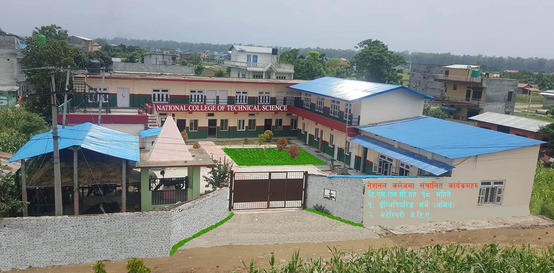
The Pre-Diploma in Survey Engineering, or AMIN, is a technical program focusing on land measurement, mapping, and spatial data collection. The National College of Technical Science (NCTS) in Bharatpur offers this course, which is affiliated with CTEVT and follows a standardized curriculum. It prepares students with the practical skills required for basic surveying roles in infrastructure, construction, and government land services.
Duration: 18 Months
Seats Available: 40
Scholarship: 4 full scholarships (based on CTEVT entrance exam)
Affiliation: CTEVT, Nepal
Minimum Qualification: SEE passed
Entrance Requirement: Must pass the CTEVT entrance exam
Curriculum Details
The course spans 18 months and includes both theoretical and field-based practical modules. Topics include:
-
Principles of Surveying
-
Chain and Compass Survey
-
Theodolite and Leveling Techniques
-
Mapping and Drawing
-
Land Law and Documentation
-
Computer Applications in Surveying
-
Professional Ethics and Workplace Communication
-
Community-based field practice
Objectives
-
Develop foundational knowledge of surveying tools and techniques
-
Train students in map reading, data collection, and land measurement
-
Prepare individuals for entry-level positions in government, municipalities, or the private sector
-
Build confidence in handling real-life land survey projects
Scope
This course is important in urban planning, road construction, irrigation design, and rural development. The skills gained are applicable in governmental land administration offices and private engineering consultancies. After completing work experience, AMIN graduates are also eligible to upgrade to diploma-level studies.
Learning Outcomes
By the end of the program, students will be able to:
-
Perform basic land surveying independently
-
Interpret maps and drawings accurately
-
Maintain survey instruments and field notes
-
Use modern tools like GPS and Total Station under supervision
-
Follow legal documentation and ethical standards
Skill Development Modules
Hands-on sessions are held for:
-
Topographic and cadastral mapping
-
Use of AutoCAD for map creation
-
Report writing and data presentation
-
Field data collection and accuracy checking
Teaching Methodology
Instruction includes classroom lectures, guided fieldwork, supervised labs, and community-based practicals. Students are assessed through periodic tests, field performance, and final board examinations.
Admission Requirements
-
Must have completed SEE (Class 10)
-
Must pass the entrance examination conducted by CTEVT
-
Enrollment is subject to the availability of seats and the merit list
Career Opportunities
Graduates can work as:
-
Junior Survey Technicians (AMIN)
-
Field Assistants in engineering firms
-
Land Record Assistants in local government offices
-
CAD operators or GIS support technicians
Scholarships and Financial Aid
Four full scholarships are available for students who score the highest on the CTEVT entrance exam. The remaining students can apply for general admission based on merit.
Why Choose This Course?
Students interested in land measurement, mapping, and construction support roles will find this course practical and rewarding. It provides the balance of theory and fieldwork necessary to start a career in survey engineering without initially needing higher education.