Overview
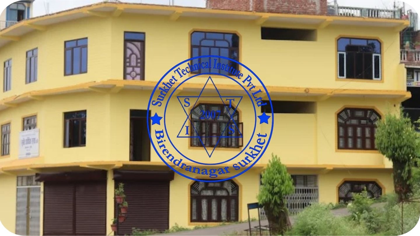
Pre-Diploma in Survey Engineering (AMIN) at Surkhet Technical Institute (STI), Birendranagar
If you’re a science-stream SEE graduate eyeing fieldwork, mapping, or land services in Karnali, the Pre-Diploma in Survey Engineering (AMIN) at Surkhet Technical Institute (STI), Birendranagar, offers an 18-month CTEVT pathway. Students search for duration, course list, OJT, pass marks, and jobs.
Overview
Here’s how the program works for you.
The CTEVT curriculum runs 18 months: 15 months institute classes and 3 months (480 hrs) On-the-Job Training (OJT). Group size is maximum 40 per batch, taught in English and/or Nepali. Attendance must reach 90% in theory and practical to sit finals.
Highlights
You may want key facts up front.
-
Duration: 18 months (15 + 3 OJT/480 hrs).
-
Batch size: up to 40; medium: English/Nepali.
-
Evaluation ratio: Internal 50% + Final 50% for both theory and practical.
-
Pass marks: Theory 40%, Practical 60%; OJT minimum 60%.
-
Certificate: TSLC in Survey Engineering awarded by CTEVT.
Curriculum Details
Here’s what you’ll study before OJT.
-
Fundamentals of Surveying
-
Survey Drawing & CAD Operations
-
Control Surveying
-
Cadastral Surveying & Land Administration
-
Engineering Survey
-
Survey Project Management
-
Basic Civil Construction
-
Basic GIS Operation
-
Topographical Survey
-
Entrepreneurship Development
Objectives
This section shows what the course intends for you.
-
Apply core field skills in chain, compass, leveling, and angle/distance work.
-
Prepare survey drawings and simple CAD outputs.
-
Establish control points and run traverses.
-
Carry out cadastral and engineering surveys.
-
Conduct topographical work and basic GIS tasks.
-
Manage small survey projects and basic construction support.
Scope
You can serve as Amin/Assistant Surveyor in government units, municipalities, private consultancies, construction sites, and development projects. The graduate level maps to Non-gazetted 2nd class/Level 4 (technical) roles.
Learning Outcomes
You will be able to:
-
Run field observations, keep error checks, and maintain logs.
-
Prepare plans, sections, and contour maps for local works.
-
Assist in land administration and basic record preparation.
-
Use entry-level CAD and GIS tools for drawings and data handling.
Skill Development Modules
Hands-on practice covers instrument handling (tape, level, theodolite/EDM basics), traverse computation, setting-out tasks, CAD plotting, topographic detail capture, cadastral procedures, and small site-layout work. OJT consolidates these in real projects.
Teaching Methodology
Learning uses lectures, discussion, assignments, demonstrations, simulations, guided and self-practice, plus continuous assessment. Practical sessions dominate, followed by OJT assessed through institute, industry, and CTEVT evaluator inputs.
Admission Requirements
Worried about the entrance exam? Read this first.
-
Eligibility: SEE/SLC appeared (any grade and GPA under letter-grading reform).
-
Selection: CTEVT entrance examination and merit placement.
-
Attendance rule: 90% in theory and practical to appear in final exams.
Career Opportunities
Graduates typically work as Amin/Assistant Surveyor in ward/municipal land sections, survey firms, engineering consultancies, road and building projects, and cadastral-related tasks. Project assistant roles in GIS/topo teams are common entry points.
Scholarships and Financial Aid
CTEVT, provincial/local bodies, and institutions announce scheme-based support each intake. Seats and criteria vary by year and notice. Applicants should review current calls before applying. (Use latest admission notice for STI and CTEVT.)
Why Choose This Course?
Not sure how practice connects to jobs? The syllabus ties field survey, CAD/GIS basics, and OJT evaluation into one track, ending in a nationally recognized TSLC in Survey Engineering. This fit works well for students aiming at Level-4 technical roles in public or private sectors.
Conclusion
Students seeking a precise, field-oriented start in land and engineering surveys can follow STI’s AMIN course to develop solid entry-level skills, meet attendance and pass-mark rules, and complete a supervised OJT that reflects real worksites. Keep your logbook accurate and practice instrument routines regularly.


