


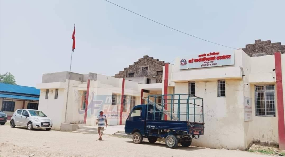
Overview
Janaki Rural Municipality (Janaki Gaupalika Banke) is located in Banke District, a central point of the Mid-Western Development Region and a prominent area for industry, trade, and agriculture.
This rural municipality is also known as an important commercial and industrial location. Its area extends from the border of Manikapur Airport on Surkhet Road, through Khajura Road, and connects to Sai Village at the Indian border.
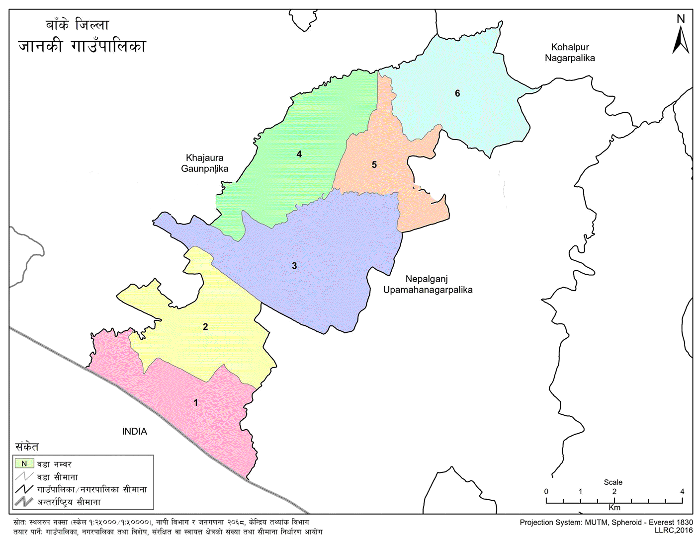
Administrative Division and Area
This rural municipality comprises a total of 6 wards and spans an area of 63.32 square kilometers. According to the preliminary results of the National Census 2078 B.S. (2021 A.D.), the total population of Janaki Rural Municipality is 46,536. Among them, the male population is 23,386, and the female population is 23,150. The total number of households is 7,263, with a total of 9,124 families.
The main marketplaces of this rural municipality are Piprahwa Chowk and Manpur.
Janaki Rural Municipality shares its borders with the following areas:
-
East: Nepalgunj
-
West: Khajura
-
North: Kohalpur
-
South: Indian Border
Related Facts of the Rural Municipality
-
Total Area: 63.32 square kilometers
-
Total Wards: 6
-
Total Population: 46,536
-
Male Population: 23,386
-
Female Population: 23,150
-
Total Households: 7,263
Ward Offices
-
Ward No. 1 – Sai Village
-
Ward No. 2 – Belbhar
-
Ward No. 3 – Indrapur
-
Ward No. 4 – Khajura Khurd
-
Ward No. 5 – Belahari
-
Ward No. 6 – Ganapur

.jpg)


