



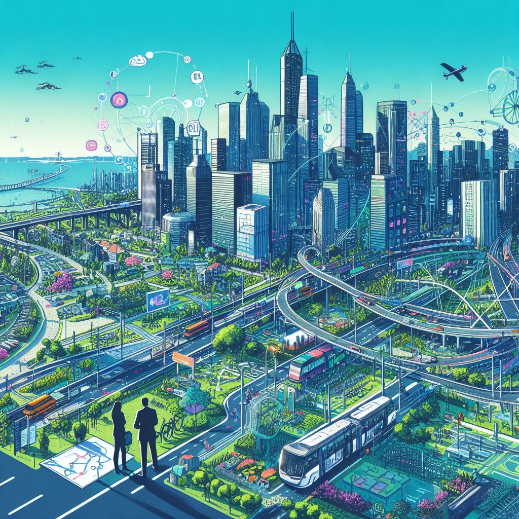
Transportation planning shapes how cities grow, how people move, and how accessible daily life becomes. It connects roads, public transit, walking routes, cycling networks, freight movement, land use, housing, employment areas, and public spaces into one coordinated system.
Good transportation planning is not limited to reducing traffic. It affects air quality, economic activity, public safety, housing access, travel time, and the overall quality of urban life. UN-Habitat describes sustainable urban mobility as a holistic approach that integrates land use, active mobility, public transport, and safety measures to create more accessible and liveable cities.
Table of Content
- How Transportation Planning Has Shaped Cities
- The Link Between Transportation and Urban Growth
- Benefits of Effective Transportation Planning
- Integrating Transportation and Land Use
- Examples From Major Cities
- Challenges in Urban Transportation Planning
- Technology in Modern Transportation Planning
- Future Direction of Urban Transportation
- Conclusion
- Key Takeaways
How Transportation Planning Has Shaped Cities
In earlier stages of urban development, many cities were built around walking, local markets, mixed land use, and compact neighborhoods. As automobiles became more common, planning priorities shifted toward wider roads, parking supply, separated land uses, and longer travel distances.
This shift changed the physical structure of cities. Residential areas often moved farther from workplaces and commercial centers, making daily life more dependent on private vehicles. Over time, many cities began to reconsider this model because car-focused growth can increase congestion, emissions, infrastructure costs, and unequal access to services.
New York City shows how transportation systems can influence urban form over time. Public transportation in the city developed through several modes, including horse-drawn vehicles, elevated railways, subways, and buses. The first underground rapid transit line opened on October 27, 1904, with 28 stations along a 9.1-mile route, helping shape the city’s long-term growth and connectivity.
The Link Between Transportation and Urban Growth
Transportation and urban growth influence each other. When a city expands, it creates new travel demand. When new roads, rail lines, bus routes, or cycling networks are built, they affect where people live, where businesses locate, and how land is developed.
This is why transportation planning works best when it is coordinated with land use planning. A transit line is more useful when housing, jobs, schools, hospitals, and public services are located near stations. A cycling network is more effective when it connects homes to workplaces, markets, schools, and public spaces. A road network functions better when it supports movement without encouraging unmanaged sprawl.
Integrated planning can help cities reduce unnecessary travel distances, make public transport more practical, and improve access for people who do not own private vehicles.
Benefits of Effective Transportation Planning
Effective transportation planning can improve urban life in several ways.
Reduced Congestion
Public transit, walking, and cycling networks can reduce pressure on road space when they provide reliable alternatives to private vehicles. Congestion management also depends on pricing, parking policy, land use, traffic operations, and the quality of available transport options.
Better Air Quality
Transport is a major source of urban emissions in many cities. Planning that supports public transit, walking, cycling, cleaner vehicles, and shorter trips can help reduce pollution and improve public health outcomes.
Improved Access to Jobs and Services
Transportation planning affects whether people can reach schools, hospitals, markets, offices, and public services safely and affordably. A well-connected city gives more residents access to opportunity, especially those who rely on public transport or non-motorized travel.
Stronger Local Economies
Efficient transport networks support trade, commuting, deliveries, tourism, and business activity. Transit-oriented development can also encourage investment near stations and reduce the need for long car trips.
Better Quality of Life
Shorter travel times, safer streets, cleaner air, and more reliable transport options can make cities easier to live in. The goal is not only to move vehicles efficiently, but to move people safely and fairly.
Integrating Transportation and Land Use
Transportation planning and land use planning should not be treated as separate systems. When they are planned together, cities can support compact growth, reduce travel distances, and make public transport more useful.
This integration may include:
-
Locating housing and jobs near public transit
-
Designing walkable neighborhoods
-
Creating safe cycling routes
-
Managing parking supply
-
Prioritizing public transport on busy corridors
-
Planning freight movement without disrupting residential areas
-
Designing streets for pedestrians, cyclists, public transport users, and motorists
This approach helps cities avoid building transport systems that serve only one type of movement or one group of users.
Examples From Major Cities
| City | Planning approach | What it shows |
|---|---|---|
| New York City | Long-term investment in subway and bus networks | Mass transit can shape dense urban growth and connect large populations across boroughs. |
| Copenhagen | Investment in cycling infrastructure and policies that support bicycle commuting | Cycling can become a practical daily transport mode when infrastructure, safety, and policy are aligned. C40 notes that Copenhagen’s cycling strategy set a goal of reaching a 50% bicycle share of commuter trips by 2025. |
| Singapore | Electronic Road Pricing and public transport-oriented congestion management | Road pricing can be used as one tool to manage congestion, especially when combined with public transport alternatives. Singapore’s Land Transport Authority states that ERP is used to manage road congestion and encourages motorists to consider alternative routes, different travel times, or public transport. |
Challenges in Urban Transportation Planning
Transportation planning is complex because cities must balance competing needs.
Population Growth and Urban Expansion
Growing cities need more capacity, but expansion without coordination can increase travel distances and make infrastructure more expensive to maintain.
Funding Constraints
Transport projects often require major public investment. Cities must decide how to prioritize roads, transit, sidewalks, cycling routes, maintenance, safety upgrades, and technology.
Unequal Access
A transport system may appear efficient overall while still failing people in low-income neighborhoods, people with disabilities, elderly residents, students, and workers with irregular schedules. Equity must be part of the planning process.
Technology and Maintenance
New technologies can improve transport systems, but they also require maintenance, data governance, cybersecurity, staff training, and long-term funding. Technology alone cannot solve poor land use or weak public transport service.
Political and Public Resistance
Changes to road space, parking, pricing, or traffic rules can face opposition. Public engagement is important because transportation decisions affect daily routines, business access, and neighborhood life.
Technology in Modern Transportation Planning
Technology is now part of many urban transport systems. Cities use data from traffic sensors, fare systems, GPS, mobile applications, and road monitoring tools to understand travel patterns and manage networks more effectively.
Examples include real-time bus information, traffic signal coordination, digital fare payment, road pricing systems, parking management, and integrated journey-planning tools. Singapore’s ERP system shows how pricing technology can be used to manage congestion during specific operating periods.
However, technology should support broader planning goals rather than replace them. A city still needs safe streets, reliable public transport, accessible sidewalks, connected cycling routes, and land use that reduces unnecessary travel.
Future Direction of Urban Transportation
The future of transportation planning is likely to focus on sustainability, accessibility, resilience, and multimodal travel. Cities are increasingly expected to plan for public transit, walking, cycling, shared mobility, freight movement, electric vehicles, climate risks, and changing work patterns.
A strong transportation plan should answer practical questions:
-
Can people reach essential services without depending entirely on private vehicles?
-
Are streets safe for pedestrians and cyclists?
-
Is public transport reliable, affordable, and connected?
-
Does land use reduce or increase the need for long trips?
-
Are transport investments serving all communities fairly?
-
Can the system adapt to climate, population, and technology changes?
Conclusion
Transportation planning is central to urban development because it determines how people access work, education, services, public spaces, and each other. Cities that coordinate transport with land use can reduce congestion, improve mobility, support cleaner air, and create more accessible neighborhoods.
The most effective approach is not to focus on a single mode of travel. Cities need balanced systems that combine public transit, walking, cycling, road management, freight planning, and thoughtful land use. When these elements work together, transportation planning becomes a foundation for healthier, more efficient, and more inclusive urban growth.
Key Takeaways
-
Transportation planning influences urban growth, accessibility, congestion, air quality, and quality of life.
-
Land use and transport planning should be coordinated rather than handled separately.
-
Public transit, walking, cycling, and road management all play important roles in sustainable mobility.
-
Technology can improve transport systems, but it must support clear planning goals.
-
Cities need transport systems that are safe, reliable, inclusive, and adaptable.





Comments 0
No comments yet. Be the first to start the conversation.